
Orleans Neighbors by Public Source
Each public source answers a different block question. The Property Viewer connects an address to a parcel card and owner. ArcGIS gives the geometry and stable parcel keys. Civic layers name organizations and districts, while old criss-cross books provide a historic address-to-name route. None is a complete list of Orleans Parish neighbors, so a sound lookup labels the record and its limit.
| Source | What it shows around a block | Access |
|---|---|---|
| City Property Viewer | Parcel cards, owner, tax bill, zoning and historic context | Public online, updated weekly |
| ArcGIS parcel layer | Adjacent polygons, GEOPIN, OBJECTID, area and perimeter | Public map and REST query; not a survey |
| City planning layers | Lots, squares, zoning, overlays, historic and future land use | Public GIS |
| Neighborhood organization layer | Citizen-submitted group names and boundaries | Public GIS, no member roster |
| Voter lookup or lawful list | Limited registration and district context under state rules | State portal, Registrar, or qualified request |
| Criss-cross directories | Past occupants and businesses by address | City Archives and NOPL, with gaps |
| Land Records | Transfers and owners for parcels on the block | Clerk index, public terminal, copies or paid images |
Online access is only one route. The Assessor and GIS provide public web tools, the Civil Clerk has office terminals and staff copy service, the Registrar handles voter questions in person and by phone, and City Archives offers print, microform, licensed databases, appointments, and duplication requests.
Click Around an Orleans Block
Open the New Orleans Property Viewer and search the known street address. Select the suggested match, open its parcel card, and save the direct link and search date. The GEOPIN is the stable bridge between the visible card and the city parcel layer. It is more useful than a bare map pin when two lots share a street number or a corner parcel fronts more than one road.
- Record the target parcel's GEOPIN, tax bill, square, owner field, and situs address.
- Zoom out one or two levels, then click each polygon that touches or faces the target.
- Log each adjacent GEOPIN and street-frontage direction. Note vacant, combined, or divided geometry.
- Use the ArcGIS query with GEOPIN or OBJECTID when a small polygon is hard to select.
- Check owner facts against the Assessor card or Land Records, never against geometry alone.
The map's Measure tool can document distance or area, but it is not a legal survey. A parcel polygon also does not prove who occupies the building. For a full address-by-address chain along a named road, shift to the Orleans Parish street directory method instead of stretching a block search beyond its purpose.
Keep Orleans Parcel Work Reproducible
The city's public parcel REST layer exposes identifiers and geometry that help another researcher repeat the same map check. A captured sample used GEOPIN 41026779 and OBJECTID 71584211. Other returned values included shape, perimeter, acres, and hectares. Those numbers describe the mapped polygon, not a certified deed or land survey.
| Field or tool | How it helps |
|---|---|
| GEOPIN | Links a selected parcel to a direct card or REST query |
| OBJECTID | Identifies the mapped GIS feature in a query result |
| Layer Control | Adds parcel, zoning, historic, precinct, service, and civic context |
| Measure | Estimates feet, miles, square feet, or acres without survey authority |
| Preserves the visible parcel and surrounding block with a date |
The official LandBase parcel service makes that technical layer visible. Save the query URL, access date, and parcel key. That small record prevents a later map update from changing the meaning of an unlabeled screenshot.
Orleans Neighborhood Groups on the Map
The Mayor's Office of Neighborhood Engagement receives self-reported organization information, and the City publishes organization names and citizen-submitted boundaries through GIS. It is a community directory, not a government-certified neighborhood map. Boundaries may overlap or conflict with historic districts, wards, precincts, ZIP labels, and the names residents use.
| Organization | Area clue | Public status |
|---|---|---|
| Broadmoor Improvement Association | Broadmoor | GIS name and boundary, not members |
| Neighbors First for Bywater | Bywater | GIS name and boundary, not members |
| Holy Cross Neighborhood Association | Holy Cross and Lower Ninth | GIS name and boundary, not members |
| ENONAC | New Orleans East coalition | Umbrella name and mapped context |
| Algiers Point | Algiers, West Bank | GIS name and boundary, not members |
| Freret Neighbors United | Freret | GIS name and boundary, not members |
The City neighborhood-associations route is the public starting point for community information.
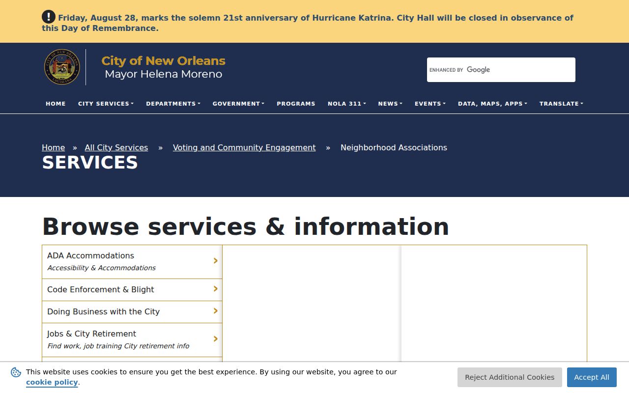
Use an organization's own public contact route for meetings or civic questions. Do not treat a point-of-contact field as a resident list, and do not publish private member or household details.
Orleans Neighbors Cross Many Boundaries
The Self-Reported Neighborhood Organizations service exposes the civic layer itself.
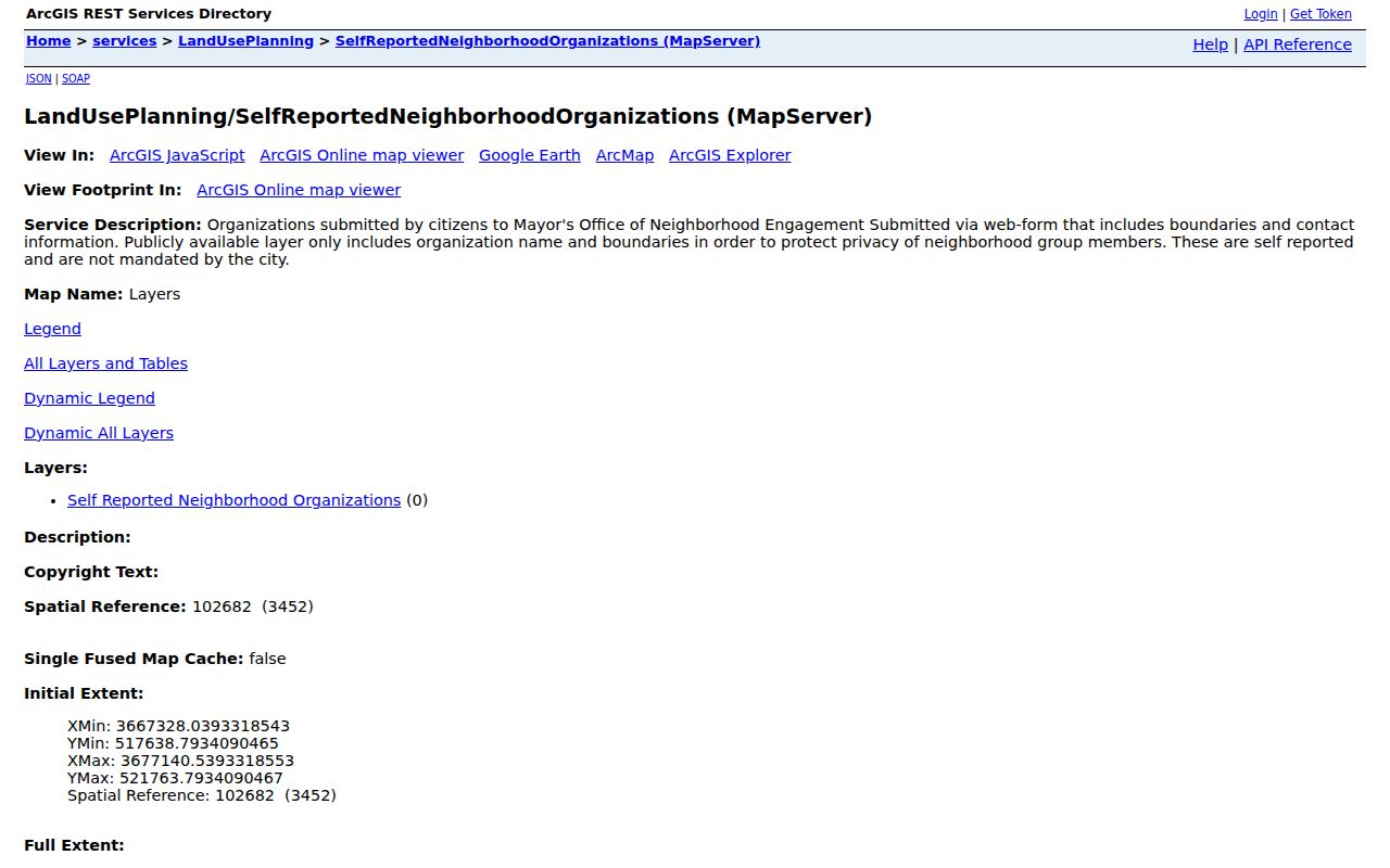
Compare its organization boundary with zoning, historic, council, precinct, NOPD, NOFD, code-enforcement, and development-district layers. Each boundary answers a distinct question. None converts all homes inside it into members of the named group.
This matters in a city where a block can be described by a faubourg, ward, historic district, neighborhood group, and postal label at once. Save each label with its source and date. Algiers remains in Orleans Parish across the Mississippi, while a New Orleans postal label can sometimes extend beyond the parish. The parcel and legal geography should lead any claim about jurisdiction.
Orleans Voter Records Are Limited
The ordinary Louisiana voter portal may confirm a voter-and-address match. It is not an open neighbors list. A lawful voter-list request may include home or mailing address, age, race, party, and districts under La. R.S. 18:154 and Secretary of State rules, but protected voters, Address Confidentiality Program participants, certain law-enforcement addresses, sensitive identifiers, and ballot data stay withheld.
The Orleans Registrar of Voters is at City Hall, 1300 Perdido Street, Room 1W24, with phone service at (504) 658-8300. The office handles registration questions, inspection, protected-voter issues, and list-request guidance. Qualified bulk requests follow a specific statutory and fee process. Do not merge an unredacted voter file with a public map or republish it as a block roster.
A historic name may also appear in the State Archives Orleans birth index.
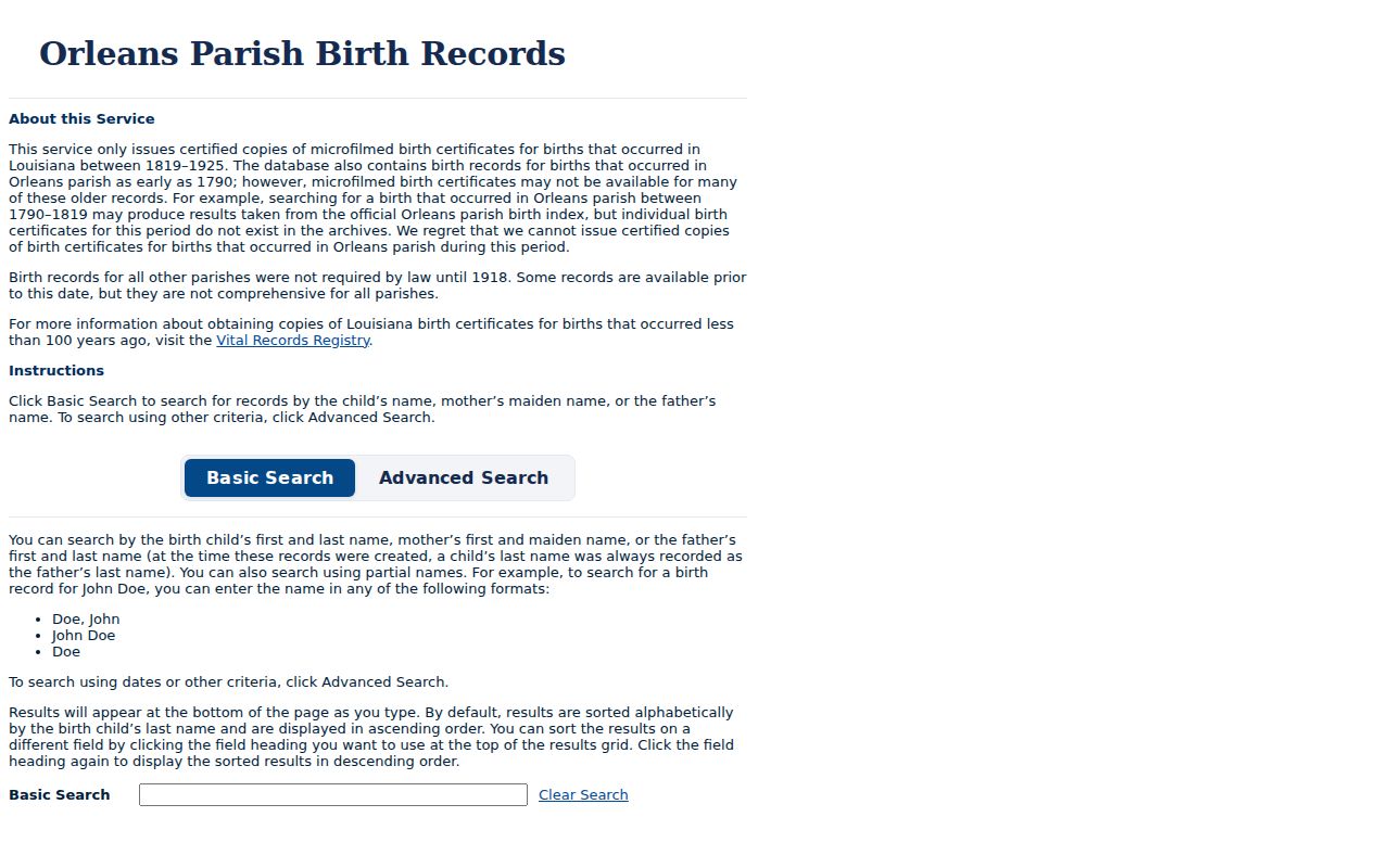
That index can support family or neighborhood history, but it cannot identify current neighbors. Current birth certificates remain closed records subject to eligibility and identification rules.
Official Orleans Records Need Context
Commercial neighbor tools often blend parcel owners, old addresses, phone associations, and public filings. Their broad output can lag a transfer, miss a renter, or preserve an outdated link. Official Orleans records are narrower but easier to date and verify.
| Source type | Strength | Main limit |
|---|---|---|
| Assessor and GIS | Current parcel, owner, key and mapped context | Not a household roster or survey |
| Clerk Land Records | Recorded transfer and title documents | Owner is not always occupant; images may be gated |
| Community GIS | Named group and self-reported boundary | No membership census |
| Commercial category | Convenient aggregation of many leads | Source dates, errors and removals may be unclear |
Confirm important facts at the office that created the record. Keep the access date, source URL, and exact field label. A mailing address should stay labeled as mailing, and an owner should stay labeled as owner.
Privacy for Orleans Parish Neighbors
Public files leave many people out by design. Renters, children, relatives, guests, and other household members are not indexed as one public household. Utility customer records, delivery data, DMV details, ballots, and protected addresses are not a lawful shortcut. Congregation and block-watch rosters are generally private or controlled by the group, and no verified open current roster was found in the official research.
Lawful use. Look up Orleans Parish neighbors for civic contact, local history, reconnection, or personal safety. Never use public records to watch, intimidate, harass, or harm anyone.
A careful result may say that a parcel is owned by one name, lies within a self-reported group boundary, and has a given GEOPIN. It should not claim that the owner lives there unless another dated source supports occupancy. Clear labels protect both accuracy and the people on the block.