
Walk an Orleans Parish Street
Begin with one verified address, not a street name alone. The New Orleans Property Viewer searches by address, owner name, or tax bill and places the result on the city parcel map. Its card can connect a situs address, the place the parcel occupies, to an owner, tax bill, municipal district, square, and GEOPIN when those fields appear. That is ownership evidence, not a list of occupants. Save the direct link and search date before moving along the block.
- Enter the house number and street, then choose the matching address suggestion. Copy situs and mailing fields under their original labels.
- Open the parcel card and note the tax bill, GEOPIN, square, municipal district, legal description, and latest sale details shown.
- Pan along the street and click adjoining parcel polygons. Keep the same number range and record each stable parcel key.
- Carry an owner or instrument number into the Civil Clerk land index. Read the deed before treating the name as a full ownership history.
- Test dated occupancy with lawful voter access and, for older years, reverse city directories rather than assuming every owner lived on site.
The chain is address to parcel, parcel to owner, owner to deed, then dated occupancy evidence. This keeps an Orleans Parish address search grounded in records with different purposes. A homestead exemption may support owner occupancy, yet it still does not identify every person in a household.
Search Orleans Parish Parcels
The Property Viewer works best when the search key matches its own format. Do not add city, state, or ZIP unless asked. For a common owner name, add more letters and compare parcel location, square, tax bill, latest sale, and legal description. A name suggestion is only a lead. Assessor and City data is identified as updated weekly, so note when the card was read.
| Viewer field | Input | How to use it |
|---|---|---|
| Address | House number plus street | Select the matching situs from suggestions. |
| Name | Last, first, middle initial | Compare owners and parcel details. |
| Tax Bill | Complete identifier | Use a roll or bill key. |
| Map click | Parcel polygon | Open nearby cards when numbers are missing. |
| Layer Control | Map tool | Add zoning, district, and historic context. |
| Measure | Feet, miles, area | Document context, not a legal boundary. |
A direct search may fail due to an abbreviation, punctuation, renamed street, or parcel with no expected number. Map click is then the practical fallback. Assessor office help is another route when the public interface cannot resolve the property.
Map Orleans Parish Street Segments
The City GIS parcel service makes a street segment reproducible. Its parcel layer returns a GEOPIN, OBJECTID, polygon geometry, perimeter, acres, and hectares. GEOPIN is the useful bridge back to a property card. OBJECTID identifies a GIS feature. Shape and measurement fields describe the mapped polygon. None replaces a plat or survey.
The service can return up to 1,000 records, and the viewer lets a researcher pan, zoom, print, measure, and switch layers. Planning and boundary services add squares, zoning, overlays, council districts, precincts, historic areas, and neighborhood context. Those layers explain why nearby parcels differ. They do not identify people inside a building.
The official parcel layer shown below is one of the successful manifest captures assigned to the Orleans Parish street directory.
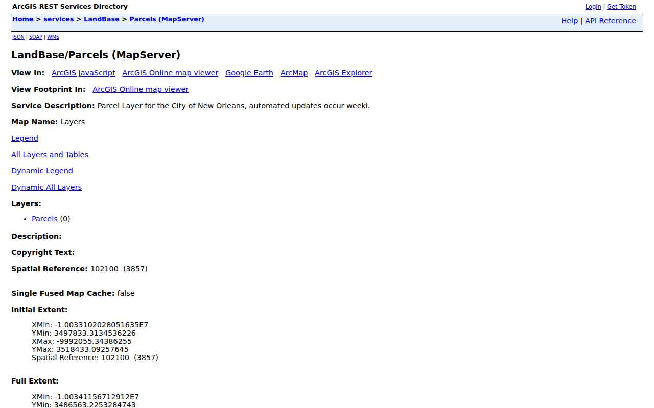
The capture documents the source layer and access point, not a claim about who occupies a specific property.
Orleans Parish Records by Street
Address-keyed records differ in scope and access. The parcel card is public online, while remote deed images can require an account or escrow balance. Older files may sit at a public terminal, records counter, City Archives, or Civil Clerk Research Center. A complete street search keeps those fallback channels in view.
| Record | Custodian | Street evidence | Access route |
|---|---|---|---|
| Parcel card | Assessor and City | Owner, situs, mailing address, tax bill | Property Viewer and office help |
| Parcel geometry | City GIS | GEOPIN, polygon, square and layers | Viewer and REST query |
| Deeds and acts | Civil Clerk | Parties, date, legal description, prior act | Index, paid images, terminal, counter or request |
| Permits and cases | Safety and Permits | Address, applicant, work, dates and status | One Stop, office or request |
| Tax rolls | City Treasury | District, bill range and assessment trail | PDF rolls or historic-bill route |
| Reverse directories | City Archives and NOPL | Dated occupant or phone entry | Databases, microform, print or copy request |
Louisiana voter information has separate statutory controls. The public Voter Portal verifies an individual with personal fields, but it is not a whole-street export. Requests for voter lists follow the Secretary of State process under La. R.S. 18:154, with protected fields and voters excluded as required.
Orleans Mailing and Situs Clues
A situs address names the parcel's physical location. A tax-roll mailing address is where owner correspondence goes. The two may match, but a different mailing address can point to an out-of-area owner, family contact, attorney, or business. It may be a strong public lead for locating an owner, yet it is never proof that the owner lives there.
- Parcel
- A mapped unit of land tied to assessment and legal identifiers.
- Situs address
- The physical address assigned to the property itself.
- Plat
- A recorded plan showing lots, boundaries, or a subdivision.
- Criss-cross directory
- A directory arranged by street and house number rather than only surname.
Keep both addresses with the card date. For a past household, move to the Orleans Parish Directory Book rather than turning a current mailing field into an occupancy claim.
Note: A New Orleans postal label in 70121 or 70123 may still point to a Jefferson Parish situs, so confirm parcel jurisdiction.
Follow Orleans Street Deeds
The Orleans Civil District Court Clerk is recorder and custodian for Land Records and the Notarial Archives. Use the latest conveyance or NA number from the parcel card when available. The unified index begins February 18, 2014, with unified images from January 1, 2005. Separate mortgage and conveyance indexes cover earlier windows beginning September 21, 1987 and January 1, 1989. Data entry reaches back to 1985, but coverage and image access are not the same.
The online Land Records system offers search and advanced controls, document-type choices, and an index path to an instrument number. Remote viewing can require subscription or escrow. Public terminals and the Land Records counter at 1340 Poydras Street, fourth floor, are separate routes. Staff can retrieve older material, while the Research Center holds supervised records from 1735 through July 1970.
This manifest capture shows the official unified land-record endpoint used after a parcel supplies a party or instrument lead.
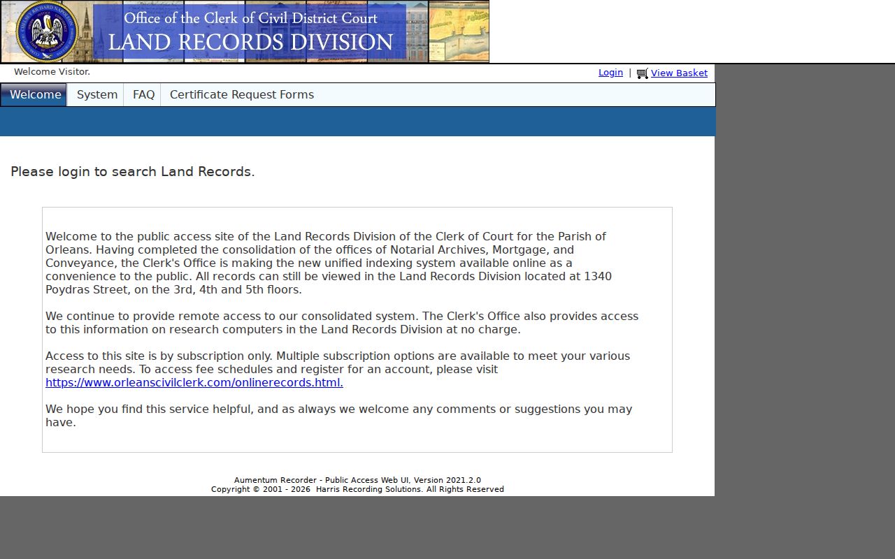
The screen documents access. A custodian copy, not the screenshot, establishes what the recorded act says.
Search Orleans Addresses in One Stop
New Orleans One Stop adds permits, licenses, planning applications, and code cases to a street directory search. Basic search needs no account. Enter a house number and street without city, state, or ZIP, or search a name, reference code, permit number, license number, or case number. The Help page says the system covers 2007 to the present and reflects real-time application data.
A result can show location, record type, application and review dates, status, comments, applicant or professional names, and public documents. Those people may be owners, contractors, architects, or applicants, not residents. Account-only advanced search adds description terms, Council District, type and date filters, CSV export, and watchlists. If older work is missing, ask Safety and Permits, City Archives, or the custodian.
Note: One Stop connects activity to an address, but the role beside each name must be read before drawing a personal conclusion.
Check Orleans Street Tax Rolls
The City Treasury publishes current and prior tax-roll PDFs by district and bill range. These files can preserve an assessed owner and bill context when the interactive card is hard to search. Historic tax-bill service offers another municipal route, and tax questions go to the Treasury at (504) 658-1701. Match a roll entry to the parcel by tax bill, district, square, and address. A tax name supports assessment history, not a claim that every named owner occupied the site.
Voter evidence answers a narrower question. The Louisiana Voter Portal asks for identifying information to return one voter's registration and polling details. Orleans Registrar of Voters assistance is available at City Hall, 1300 Perdido Street, Room 1W24, and by phone at (504) 658-8300. The Secretary of State also has a formal voter-list request process with formats, fields, fees, and statutory limits. Protected voters and confidential fields must remain excluded.
Do not turn either source into a blanket resident list. A tax roll can name an owner who lives elsewhere, while voter registration is tied to eligibility and registration status at a point in time. For family history or civic research, preserve the date and field source. When two sources disagree, check address normalization, parish jurisdiction, and the record custodian before choosing one.
A written public-record request is the fallback when a defined government record is not in a portal. Name the Orleans custodian, record type, date range, street or parcel identifiers, desired electronic format, and a fee ceiling. Keep the request and response together. Louisiana Public Records Law provides inspection and copying rights, but the custodian may redact protected information or explain why a record is withheld.
Translate Old Orleans Street Addresses
Historic New Orleans searches can fail even when the household appears in a book. City Archives maintains street-name change tables covering 1852 through 1938 and early-1890s number-conversion guidance. Conversion relies on present hundred-block and cross-street logic, so it is not a perfect old-number-to-new-number key. Record the old spelling, cross street, ward or municipal district, and nearby names before choosing a modern parcel.
Reverse address searching appears in the directory record from 1932. Haines criss-cross volumes begin in 1966, and later books include name, address, and phone sections. For earlier years, search the alphabetic entry, street index, and nearby households. Here the books serve one purpose: testing who was associated with an address on a stated date.
Local terms matter. A square, faubourg, ward, East Bank or West Bank reference may resolve a place better than a modern ZIP. Algiers remains in Orleans Parish across the Mississippi, while some New Orleans postal labels sit beyond the parish.
Limits of Orleans Street Records
No Orleans Parish street directory is a complete household roster. Parcel and deed records identify legal or assessed owners, not every occupant. Permits identify roles tied to work at a site. Voter material is governed by state law and excludes confidential fields or protected people. Utility customer information, motor vehicle addresses, school records, and other private files do not become public merely because an address is known.
Absence proves little. A renter may never appear on a tax roll, a spouse may be folded into an old abbreviation, a parcel may use a different mailing address, and a street may have changed name or number. Confirm a claim through two dated sources and distinguish owner, applicant, registered voter, directory resident, and current occupant.
Lawful use. Orleans Parish address records are for lawful personal research. Never use a street search to stalk, harass, threaten, or expose a protected person.